

On a highway scenic overlook, a couple we saw just said
“Wow.” The gentlemen then said – “we
seem to have run out of adjectives when describing New Zealand.” I think K and I couldn’t agree more after the
past three days. My apologies for not
posting over the past few days. Lack of
internet plus some longer days on the road, it has delayed my posts.
K and I traveled by car from the Nelson area of the south
island of NZ to the Fox Glacier on Tuesday.
Yesterday, we spent on the Fox Glacier and surrounding area. Today, we made our way to Queenstown from Fox
Glacier. I’ll keep this blog post to
what we saw Tuesday as it’s just too much to cover in one post. Over the past two days I took over 700
pictures. I probably added another
couple hundred today. Don’t worry, I’ll
try to pick the best of the best, but the beauty was just stunning.
The owner of the B&B inn outside Nelson told us that it
was about a four hour trip to our destination of Fox Glacier. Note to anyone that comes to New
Zealand: we have found the Kiwi people
to be helpful and generally nice to be around.
However, when a Kiwi tells you the cost of something or the time to
travel somewhere, double their estimate.
They are tremendously understating people. This is not an isolated incident and we read
in a couple of travel guides that this is a common find among travelers –
especially Americans – that come to New Zealand. So it took all day to make the trip ~300 mile
trip, but we had several detours and stops for some incredible scenery.
Rabbit Island
Before we left the Marlborough Sounds area, we stopped at Rabbit Island near Nelson right on the Tasman Bay (at our inn keeper’s recommendation) – a forested little island that sits amid the tidal basin of Tasman Bay. It was a pretty start to a great day. Note the shot of the forest on the island. I have seen some of the Black Forest in Germany. This little forest had it beat for darkness.


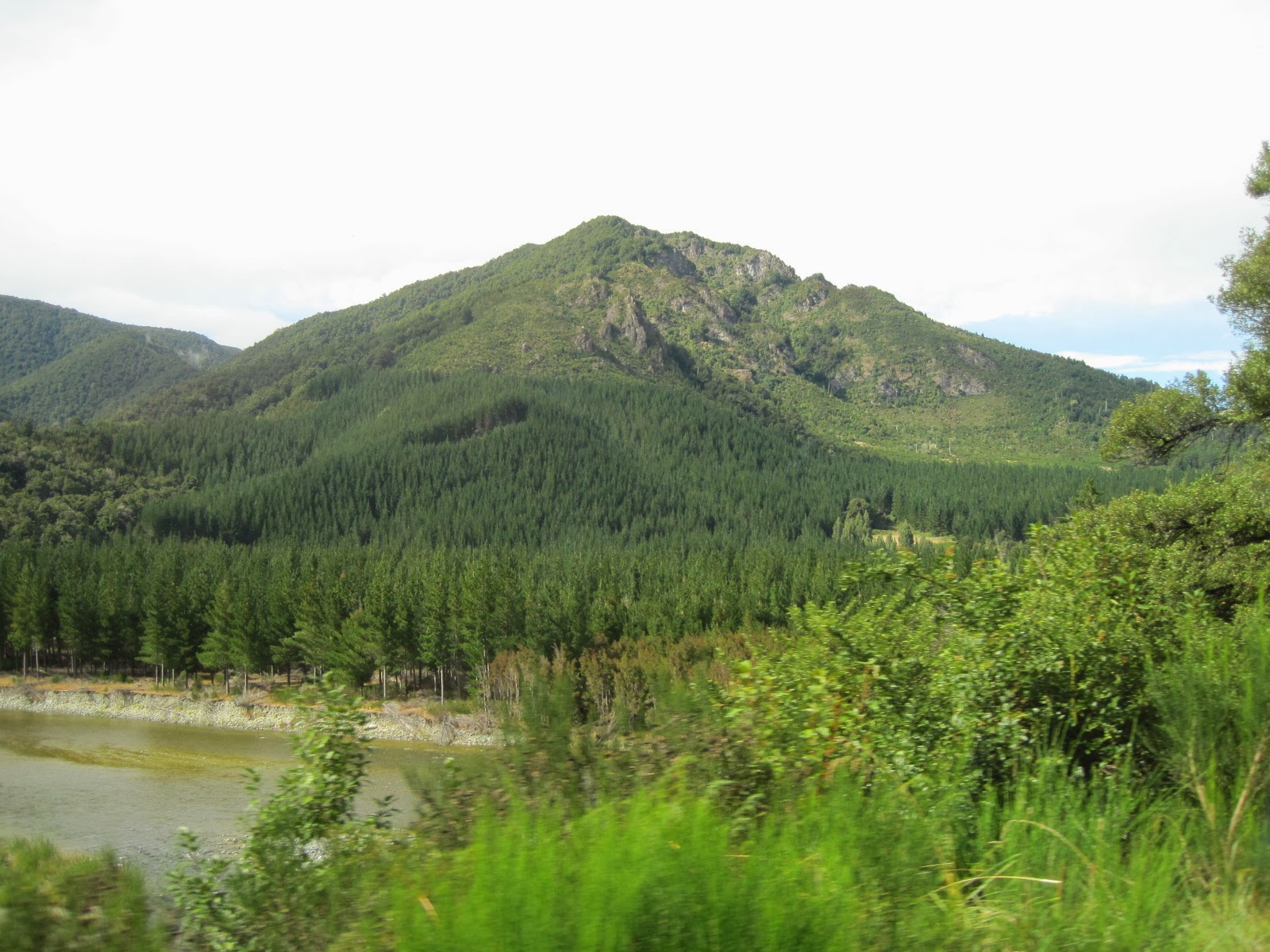
Over the Southern Alps
As we left Rabbit Island and pointed our car south, we could
see snow on the mountains ahead. You
could see your breath in the morning and they had fresh snow in the mountains
overnight – our first experience with any cool weather in NZ.


Maruia River Falls
Our first stop before crossing the Southern Alps foothills to the coast was a small detour to the Maruia Falls on a tributary – the Maruia River - to the Buller River. The falls were created in 1929 by an earthquake. Here are a few pictures. This falls is often neglected in guide books (probably because it is off the beaten track a little and there are so many other places to see in New Zealand), but we were glad we made the stop. I hope you see why.


The West Coast
Eventually, the mountains gave way to the sea coast. And what a coast it was. Any words I have do it injustice. Actually, any picture I have does it
injustice. It has some similarities to
California’s coast, but more violent and awesome.


Pancake Rocks
About ½ way on our coastal trip, we stopped at the Pancake
Rocks and Blow Holes of the Paparoa National Park on the coast. The blow holes are some of the biggest I have
ever seen. The picture and video should
give you some sense of the size and power.


Lunch was on the go on Tuesday. We went to a Countdown store and grabbed some
cheese, crackers, and fruit and picnicked in the car as we drove. The Countdown store is the major supermarket
chain in New Zealand. If you want to
know what a supermarket in New Zealand is like, head to your local US
supermarket. You wouldn’t be able to
tell the difference unless you looked hard at some of the brand names, but even
then it might not be enough to tell. A
Publix, Krogers or Byerlys in the US would look like a Countdown store.
We also made a brief stop in Hokitika on the coast. This is the center of Maori jade
jewelry. The New Zealand (Maori
translated) name for jade is greenstone.
K needed some jewelry.
From there, we saw more coast and ultimately the Franz Josef
and Fox Glacier townships. Below, we got
a glimpse of the Franz Josef Glacier and Fox Glacier (the second and third pictures - the glacier we would hike Wednesday) just before dusk.


No comments:
Post a Comment